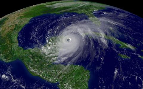
 Hurricane Patricia, the strongest recorded Saffir Simpson Category 5 storm in recent history, developed on Oct 22, 2015, to full strength in the eastern Pacific Ocean near the southern coast of Mexico. In general – as was the case with this storm – hurricanes are driven and strengthened above warm ocean waters. The storm’s strength is thought to have been powered by the unusually strong El Nino event developing over the past year. With the El Nino, sea surface temperatures (SSTs) are increased in the eastern Pacific. El Nino is generated by weakened vertical upwelling circulation just off the west coast of South America – a process which minimises cold water coming to the surface. As hurricanes impact land, however, they weaken due to increased dissipation of heat energy. Other sources of higher SSTs include major currents transporting warmer waters at the surface, such as the Kuroshio in the Pacific Ocean and the Gulf stream in the Atlantic Sea (both classified as a “western boundary current”).
For the Caribbean, hurricanes will intensify while crossing above warmer parts of the Caribbean Current and their mesoscale eddy systems that trap warmer water at the surface. Scientific articles show that not only the scale of the hurricane, but also the particular route it takes can be influenced by SSTs. A warm core eddy system in the Gulf region, for example, was implicated in the strengthening and steering of Hurricane Katrina shortly before making landfall. While a strong El Nino persists, the Caribbean is expected to enjoy a relatively less intense hurricane season. The El Nino effects a change in upper atmospheric conditions, where the vertical wind shear is increased over the Caribbean and Atlantic but reduced in the eastern Pacific. This prevents storms from intensifying into hurricanes in the Caribbean. The opposite effect occurs for the Pacific, where more intense storms are formed due to higher SSTs.
