What is ‘More than Maps’?
The Mona Geoinformatics Institute (MGI) has partnered with the University of Southampton (UoS), The University of Western Australia (UWA), and the University of Ghana (UoG) on a capacity-building project “Managing Climate Change Adaptation at the Coast through More than Maps” or “More than Maps”, which aims to develop the essential research skills of university students and Early Career Researchers (ECRs) through online workshops in January 2022. These diverse workshops will empower aspiring and established scientists alike in both the physical and social sciences with skills that will assist them in formulating solutions to some of the Caribbean Region’s most pressing problems.
MGI’s Role
MGI, the leading organization in Jamaica providing advanced Geographic Information Systems solutions, complex data mapping, and analysis, has been tasked with developing local workshops to cover the following topics:
- Theoretical Workshop 1: The importance of effective disaster risk management for Small-Island Developing States (SIDS)
This workshop will expose University students at all levels to the importance of Disaster Management in a regional context by:
- Defining and identifying disasters to which the Caribbean region is vulnerable.
- Examining the concept of double exposure for SIDS;
- Highlighting the importance/benefits of proper preparedness, monitoring, mitigation, and response – The case study of Sargassum.
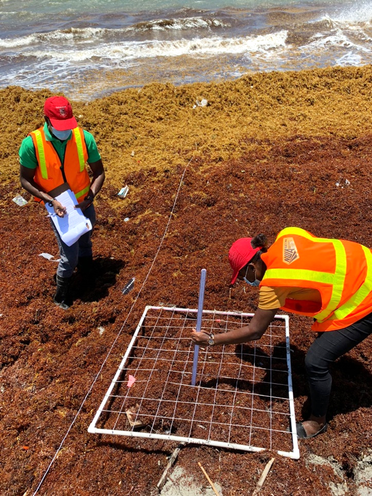
- Skills Workshop 1: The basics of environmental monitoring
This workshop will expose University students and environmental scientists at all levels to traditional and modern techniques utilized by environmental scientists such as:
- Developing accurate methods of establishing transects for the case of vegetative and beached Sargassum monitoring
- Introducing drones of different prices/capabilities and how they can be utilized in environmental monitoring activities
- Introducing the basics of drone flight planning;
- Introducing the basics of post-flight image processing and quantifying various beached Sargassum parameters.

- Skills Workshop 2: The essentials of social data collection
This workshop will expose University students and environmental scientists at all levels to traditional and modern techniques utilized by social scientists such as:
- Developing appropriate questions for quantitative data collection;
- A brief introduction to ethics;
- Mobile Data Collection! Endless opportunities!
For more information about ‘More Than Maps’, please visit our social media pages!
Instagram: mgi.blue
LinkedIn: MGIBlue
You may also visit the project website at About – More than Maps (sartrac.org)