
Policymakers, government officials, and residents of Antigua and Barbuda now have access to a wealth of national environmental data and information thanks to a pioneering online platform developed by the Mona Geoinformatics Institute (MGI) in partnership with Design + Environment Inc. (DE)


MGI and DE are pleased to announce the official launch by the Government of Antigua and Barbuda (GoAB) of its national Environmental Information System (EIS). The Antigua and Barbuda EIS is the first of its kind in the country and aims to improve accessibility to pertinent data in strengthening Antigua and Barbuda’s response mechanism to environmental reporting. Press conferences, training workshops, and interviews were held at a number of locations across Antigua for the week of September 20 – 24, 2021, for awareness and promotion of the system.
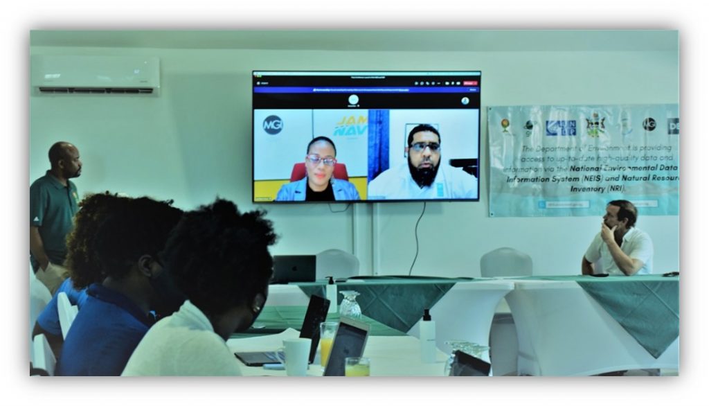
MGI Deputy Director, Dr. Ava Maxam, led the Jamaica-based software engineering team while Mr. David Oswald, President of DE, provided environmental expertise on the project
The project is funded by the Global Environment Facility (GEF) and implemented through the Department of Environment, Ministry of Health and the Environment, GoAB. Click here to hear more from the Consultants about the EIS.
The low-lying islands of Antigua and Barbuda, located in the Eastern Caribbean, are faced with increasing threats to populations, landscapes, and ecosystems from global warming and sea-level rise. Close monitoring of indicators of climate change and environmental health is, therefore, crucial to assess impacts and inform mitigative strategies. These indicators are often difficult to gather, and even less so accessible, networked, or centralized. The EIS was implemented to alleviate these problems


As a high-quality information framework, the EIS informs national environmental policy towards fulfilling reporting requirements of Multi-lateral Environment Agreements (MEAs) – global treaties ratified by the government. The two-part platform consists of both the National Environmental Data & Information System (NEIS) and Natural Resources Inventory (NRI).
The NEIS catalogs and manages a variety of information such as research papers, project reports, spatial and non-spatial data environmental documents while the NRI allows users to visualize geospatial data using maps for reporting purposes. This system now improves accessibility to patterns and trends for vital indicators such as rainfall, temperature, drought risk, terrain, and shoreline movements. This directly supports the GoAB’s reporting mandate under the UNFCCC, UNCBD and the UNCCD, including visualization of the status of environmental indicators, to improve compliance by producing and sharing evidence-based information for monitoring and reporting.
Antigua and Barbuda, islands located in the Eastern Caribbean, are low-lying topographies with increasing threats to populations, landscapes, and ecosystems due to global warming and sea-level rise. The EIS is a high-quality information framework developed by MGI and DE to inform national environmental policy towards fulfilling reporting requirements of Multi-lateral Environment Agreements (MEAs) – global treaties ratified by the government. The two-part platform consists of the National Environmental Data & Information System (NEIS) and Natural Resources Inventory (NRI).
The United Nations has implemented a range of Multilateral Environmental Agreements (MEAs) focusing on different environmental and sustainable development issues including climate change, loss of biodiversity, and the degradation of land. Central to progressing the directives set out in MEAs is the capacity of Parties to produce and share evidence-based information for monitoring and reporting.

MEAs for the Antigua and Barbuda EIS address 3 broad areas:
- UNCCD – United Nations Convention to Combat Desertification,
- UNFCCC – United Nations Framework Convention on Climate Change, and
- UNCBD – United Nations Convention on Biological Diversity.
MEAs are informed by key indicators, that is, measures of the state of the environment, providing insight into its health, quality, and management. Indicators are presented as a statistic or value of the presence or level of the factor affecting the environment. Important global environmental indicators include biological diversity, food production, average global surface temperature and CO2 concentration in the atmosphere, as well as human population and resource depletion.

Though important, MEA reporting can be time-consuming and burdensome, especially in small island states. With the creation of the National Environmental Data & Information System (NEIS) and Natural Resources Inventory (NRI), Antigua is empowered with vital tools for reporting to MEAs in a low-cost and efficient manner. MGI has rich experience throughout the Caribbean implementing similar decision support systems including the Saint Lucia NEIS. Contact us at info@monainformatixltd.com to find out more about developing information, planning, and decision-support systems for your needs.
LINKS:
Antigua EIS:
https://neis.environment.gov.ag/
https://nri.environment.gov.ag/
Mona GeoInformatics Institute:
https://blue.monagis.com/news/