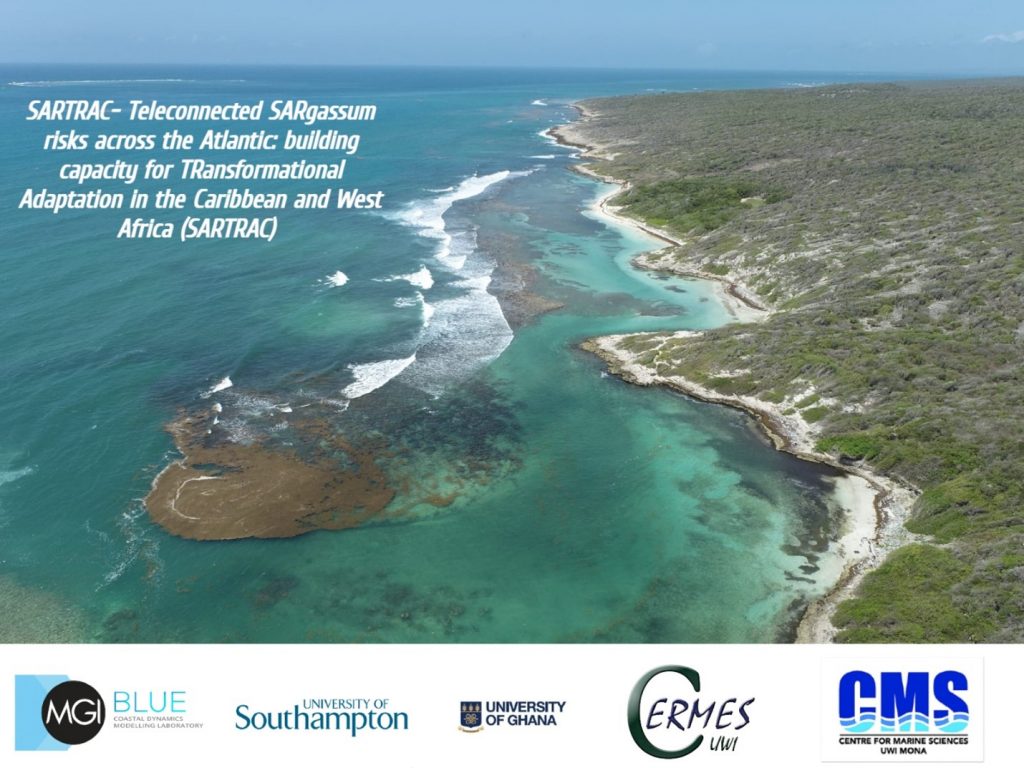
What is ‘Teleconnected SARgassum risks across the Atlantic: building capacity for TRansformational Adaptation in the Caribbean and West Africa’ (SARTRAC)?
The Mona Geoinformatics Institute (MGI) has partnered with the University of Southampton (UoS), The Centre of Marine Sciences (CMS), The Centre for Resource Management and Environmental Studies (CERMES) and The University of Ghana (UoG), on an environmental project which aims to understand global and local scale drivers of Sargassum across the Atlantic basin, whilst identifying transformational opportunities for vulnerable communities affected by the holopelagic seaweed. Key outputs of the project will assist stakeholders and marginalized communities impacted by Sargassum in achieving equitable resilience. SARTRAC is a 3-year programme of research funded by the Economic and Social Research Council (ESRC) Global Challenges Research Fund (GCRF). The project is scheduled to run until October 2022.
Objectives
MGI, as a co-leader for Work Package 2 is involved with two main objectives of the SARTRAC project:
- DISTRIBUTION. Using a myriad of cutting-edge technologies such as the use of drones, remote sensing analysis of high-resolution satellite imagery and Geographic Information Systems (GIS), we will monitor, track and map Sargassum movement and impact across the transatlantic basin at local and regional scales.
- DRIVERS. Drivers of Sargassum remain poorly understood and as such we aim to contribute to this area by examining both global and local scale drivers of Sargassum across the transatlantic region.

MGI’s Role
MGI, the leading organization in Jamaica providing advanced Geographic Information Systems solutions and complex data mapping, has been tasked with providing insights into understanding the drivers of Sargassum for the island through the following objectives:
• Detection of stranding events
Through this objective the team will be developing novel algorithms for the detection of floating Sargassum through remote sensing. The Mona GeoInformatics Institute shall also develop efficient and accurate field and remote sensing techniques that can be utilized in the monitoring of Sargassum beaching events. Once these protocols are developed, they will be shared with relevant monitoring agencies such as the National Environment and Planning Agency (NEPA).

- Early-warning system development and dissemination
This work will involve the utilization of satellite, ocean, and meteorological data to develop a real-time model that will alert affected stakeholders of imminent Sargassum threats. We will work closely with the relevant stakeholders so that the system is developed incorporating their input.
- Understanding the physical and social distribution of sargassum stranding impacts
Through this objective, the institute shall evaluate the geomorphological and hydrometeorological factors that influence Sargassum beaching severity, a completely novel undertaking which will be of significant value to relevant stakeholders involved in Sargassum management and research. The team will also identify socio-economic conditions of areas impacted by Sargassum strandings in Jamaica using census and other national data.
- Co-development of risk management strategy
We are also tasked with evaluating pathways to equitable resilience by developing effective risk management strategies that will inform policy measures required for managing Sargassum inundation across the region.
For more information about SARTRAC please visit the project website.